 From Wikipedia, the free encyclopedia
The Pamir Highway (Russian: "Pamirsky Trakt", Памирский тракт) is a road traversing the Pamir Mountains in Central Asia. Sources disagree on the termini of the highway, with Mazari Sharif, Afghanistan; Dushanbe, Tajikistan; and Khorog, Tajikistan all being offered as the beginning of the highway; however all sources agree that the Pamir Highway ends in Osh, Kyrgyzstan. The Pamir Highway is designated as route M-41 over much of its length in Tajikistan, and is known as the second-highest altitude international highway in the world (4,655 m). It has been given the European route number E 008 between Dushanbe and Murgab, but not between Murgab and Osh, because of the unreliability of the highest part. Tajikistan etc have got E-roads (around 2001) since they have become members of the UNECE.
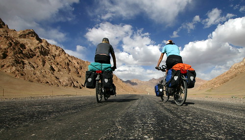
Despite being called a highway, the road is only sparsely maintained, sometimes paved but often a dirt road, and heavily damaged in places by erosion, earthquakes, landslides, and avalanches. However, it is the only continuous route through the difficult terrain, serving as the main supply route to Tajikistan's Gorno-Badakhshan Autonomous Region. The route of the Pamir Highway has been in use for millennia, as there are a limited number of viable routes through the high Pamir Mountains; the road formed one link of the ancient Silk Road trade route. The quality requirements for an E-road is among others, paved, at least 8 m wide, at most 8 % grade, but they do not seem so stringent.

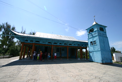
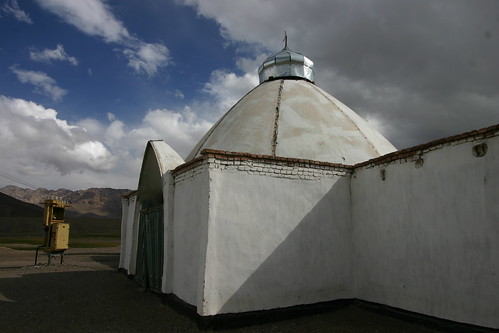
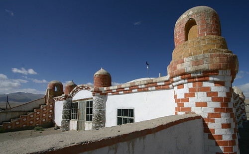
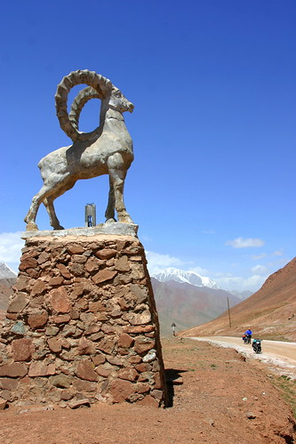
The road begins just east of Mazari Sharif in northern Afghanistan, passing northward into Uzbekistan before turning east and crossing another border into Tajikistan. It then follows a general eastward route through Dushanbe, the capital of Tajikistan, to Khorog, crossing the Kafirnigan, Vakhsh, and Bartang Rivers. From there it continues east for a distance of 311 kilometers (193 miles) to Murghab, there crossing the Murghab River before turning northward. The Pamir Highway passes through the altitude 4,655 meter (15,270 ft) Ak-Baital pass and past lake Kara-Kul before crossing into Kyrgyzstan and on to Osh. The Murghab-Osh leg is 417 kilometers (259 miles) in length. The stretch of road between Khorog and Osh attracts some small amount of tourism due to its rugged, unspoilt natural beauty and sparse but friendly native population.


 The road begins just east of Mazari Sharif in northern Afghanistan, passing northward into Uzbekistan before turning east and crossing another border into Tajikistan. It then follows a general eastward route through Dushanbe, the capital of Tajikistan, to Khorog, crossing the Kafirnigan, Vakhsh, and Bartang Rivers. From there it continues east for a distance of 311 kilometers (193 miles) to Murghab, there crossing the Murghab River before turning northward. The Pamir Highway passes through the altitude 4,655 meter (15,270 ft) Ak-Baital pass and past lake Kara-Kul before crossing into Kyrgyzstan and on to Osh. The Murghab-Osh leg is 417 kilometers (259 miles) in length. The stretch of road between Khorog and Osh attracts some small amount of tourism due to its rugged, unspoilt natural beauty and sparse but friendly native population.


